Ostracod Research at the Lake Biwa Museum, Japan
Robin James Smith
About Ostracods
Introduction
Carapace
Appendages
Habitats
Diet
Predators
Ostracod Facts
Checklists
Galleries
Non-marine Ostracods
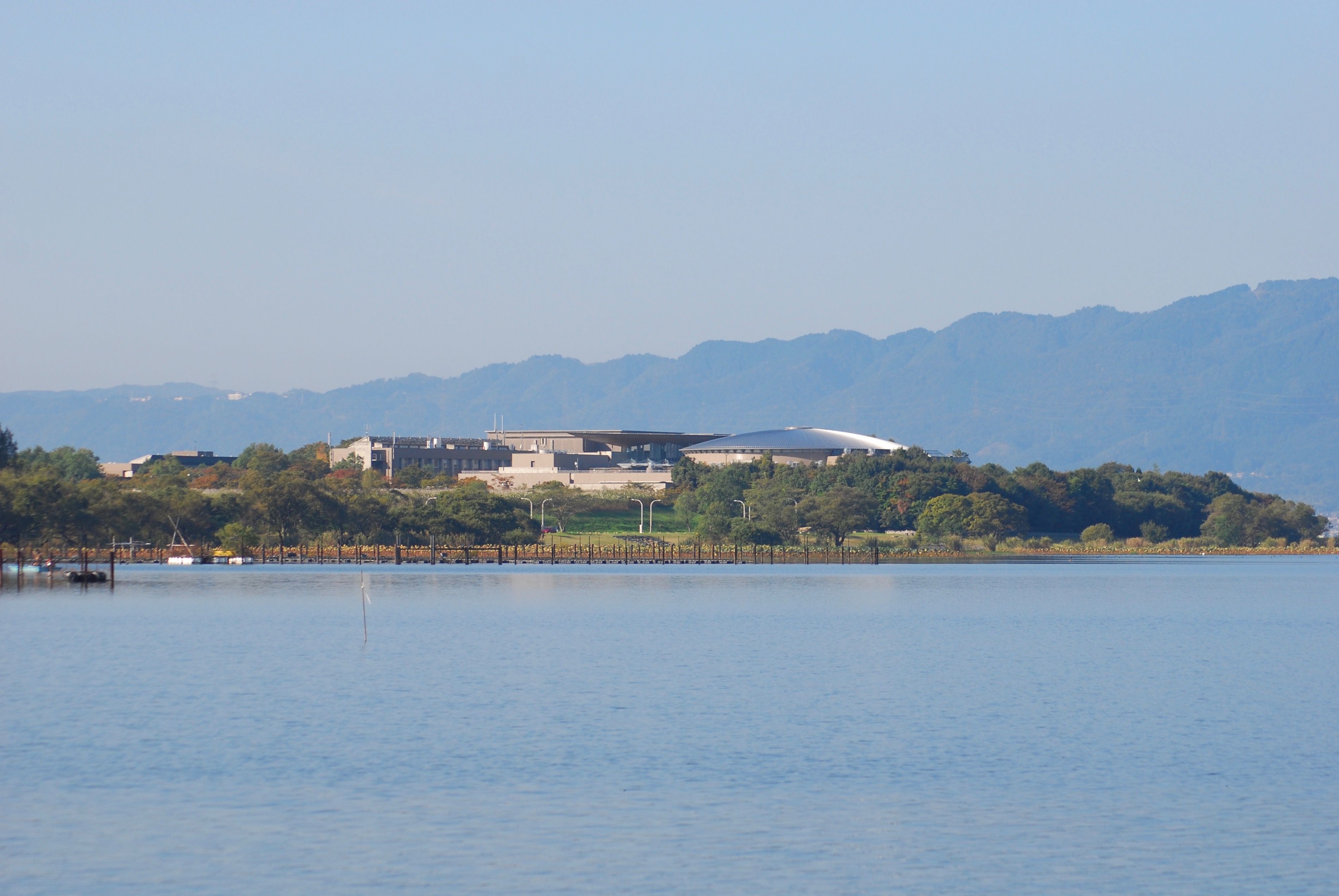
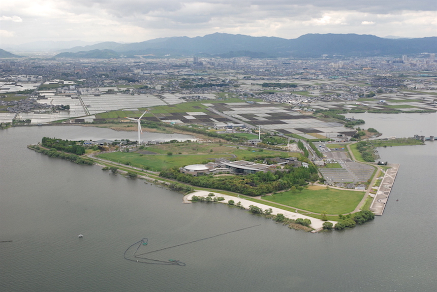
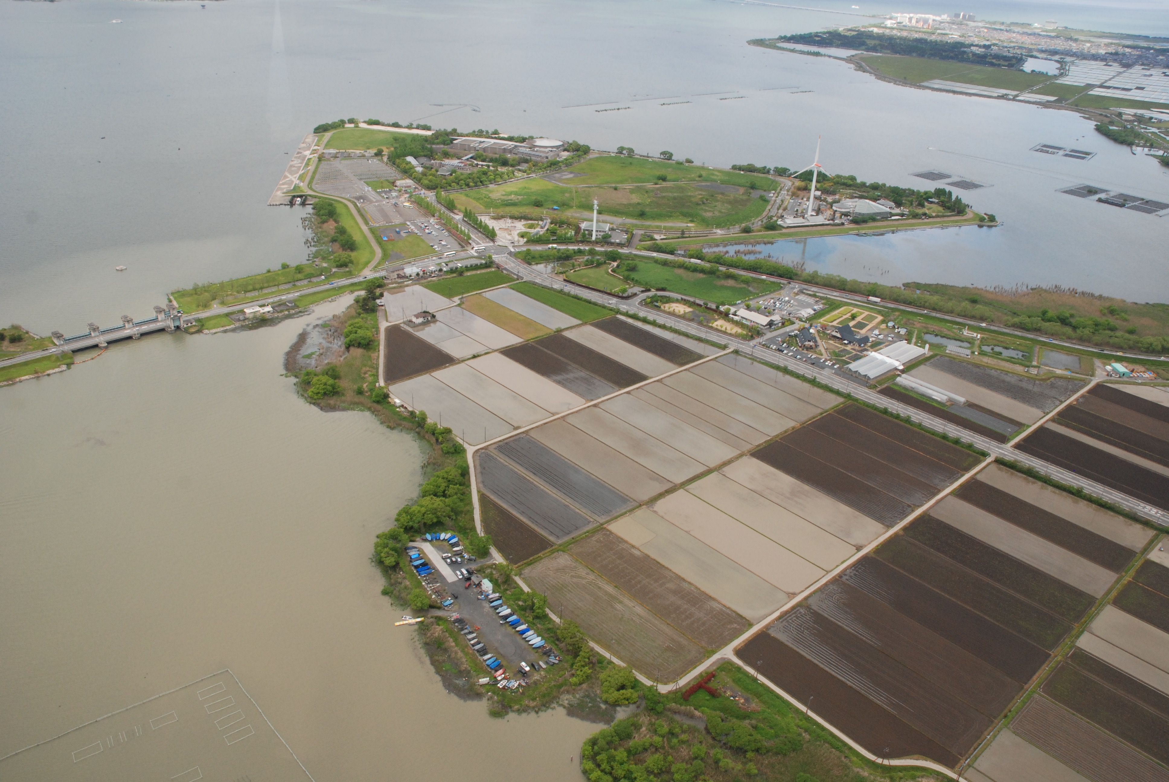
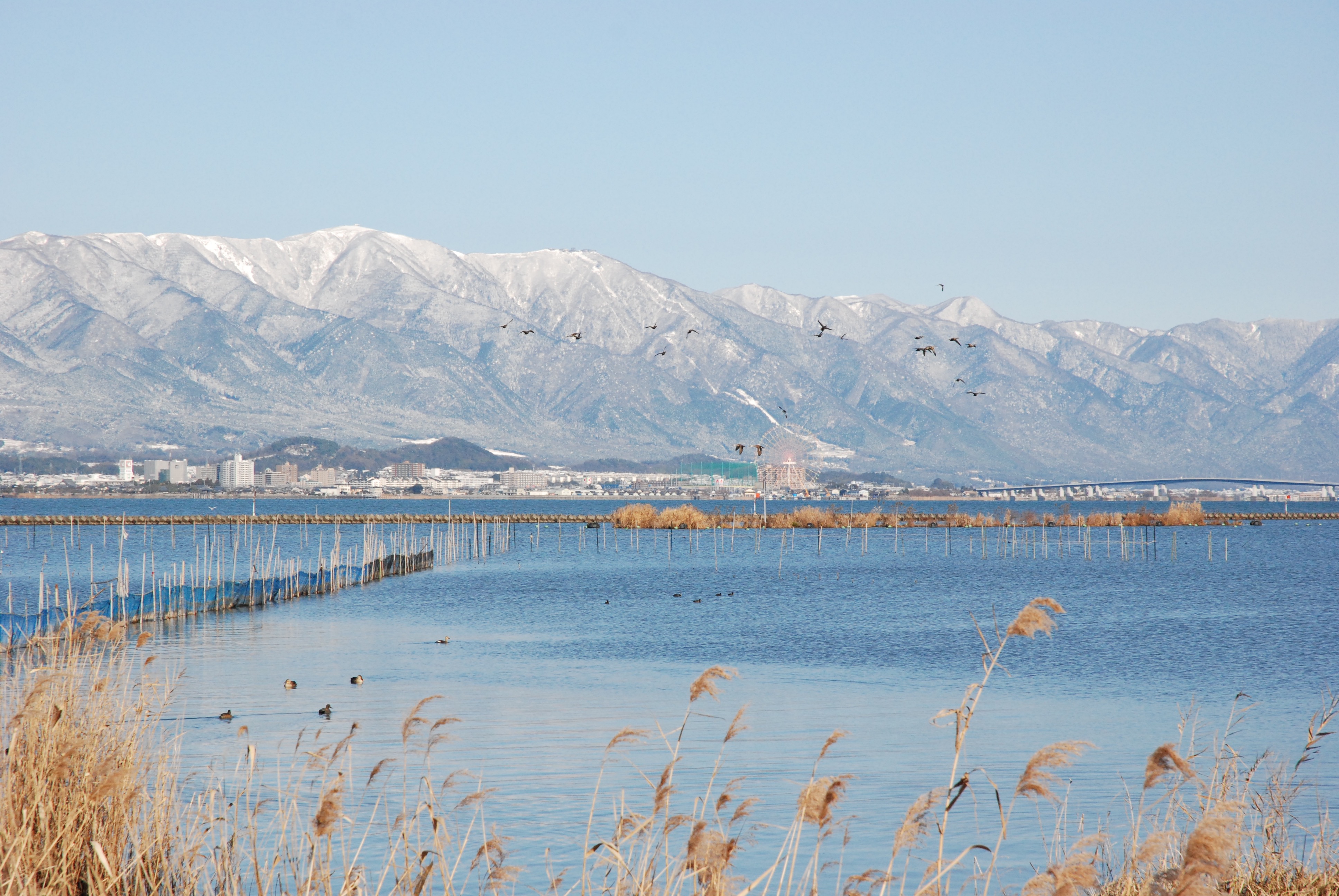
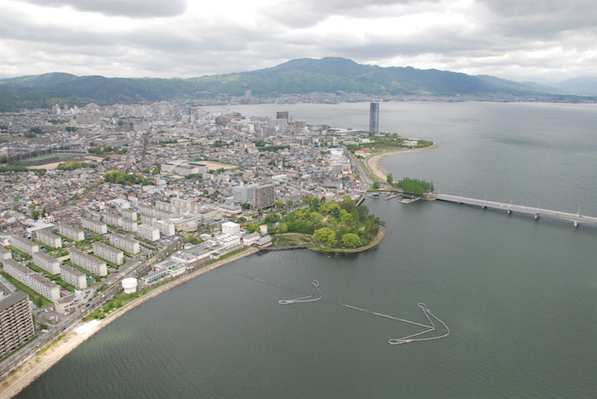
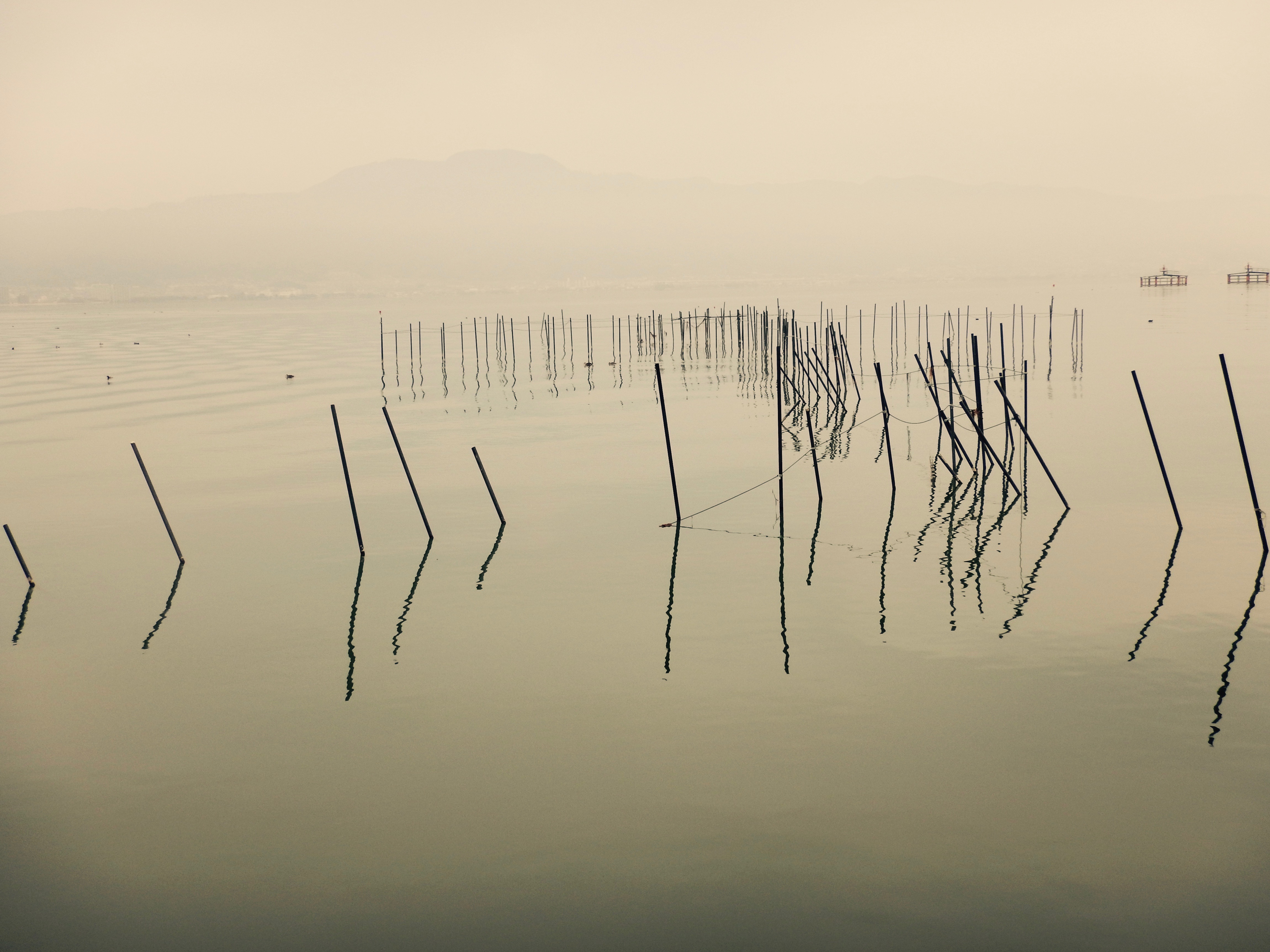
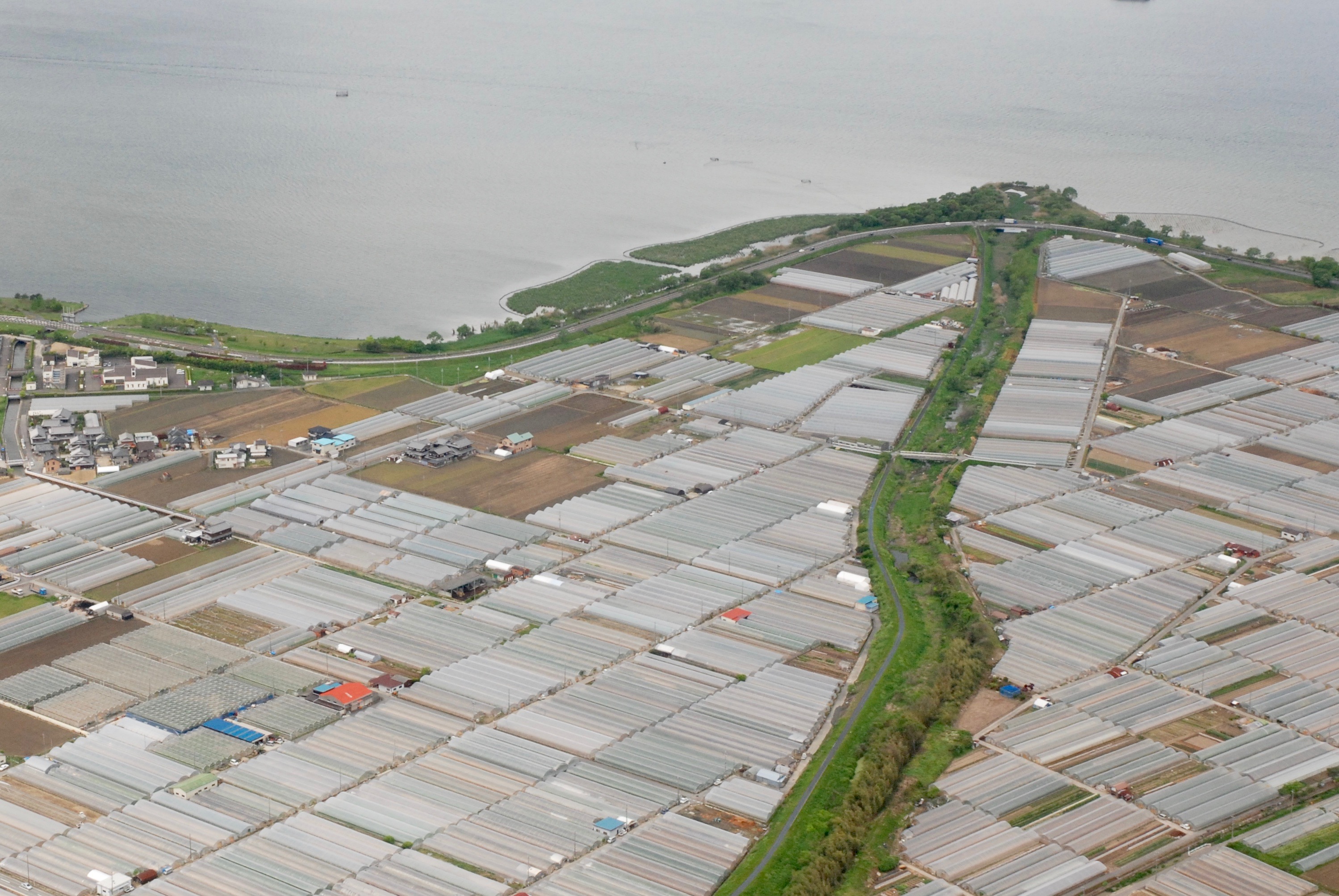
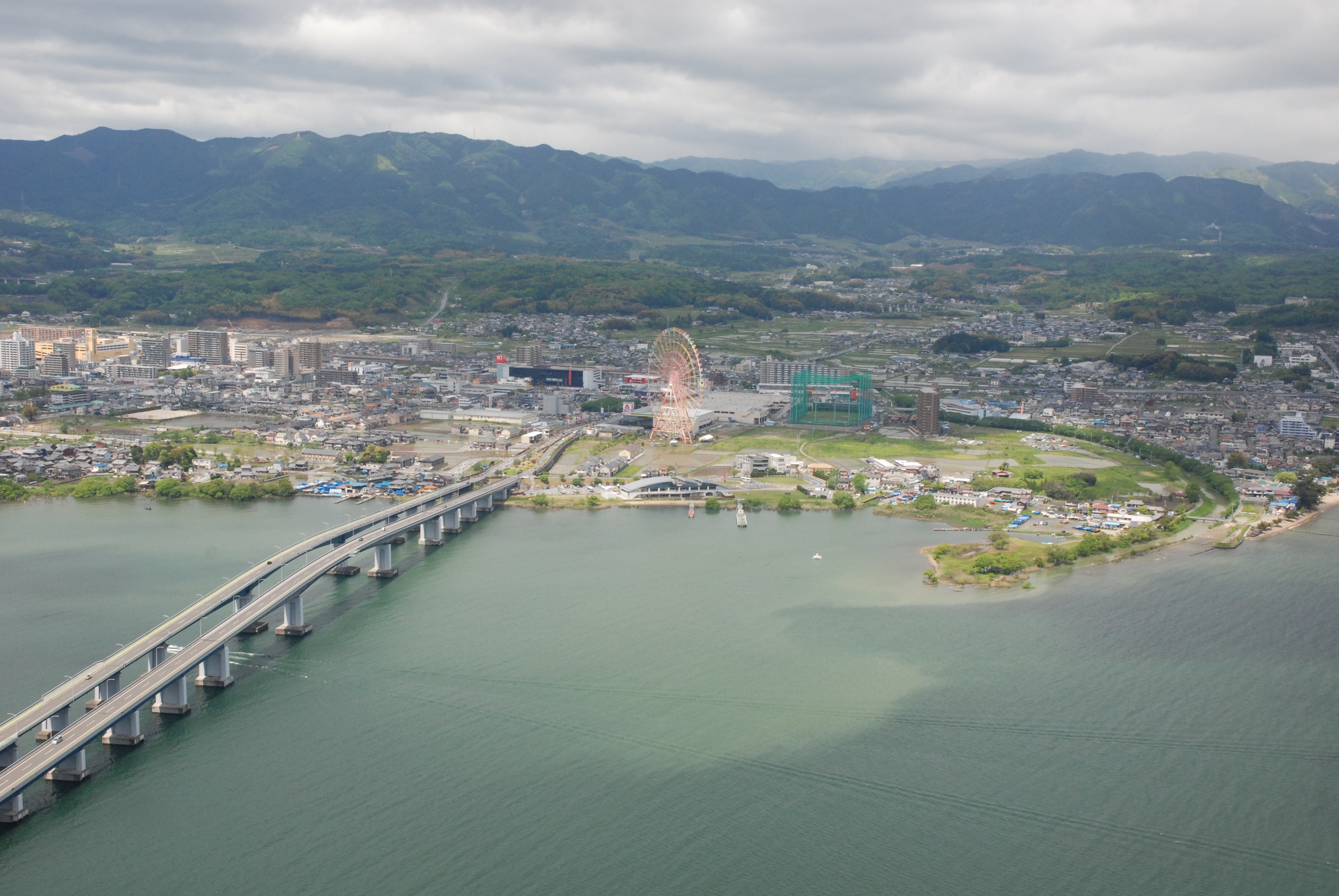
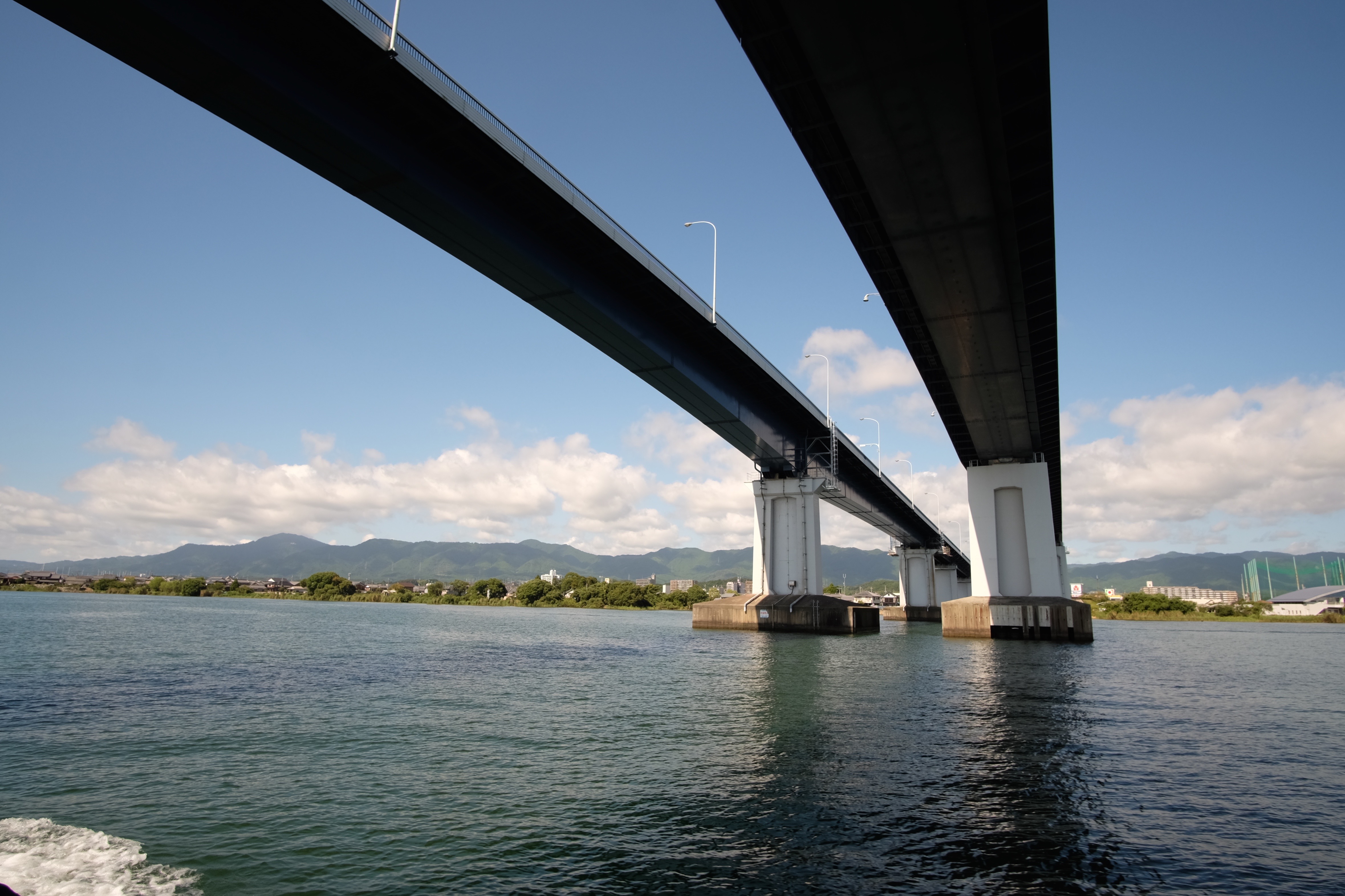
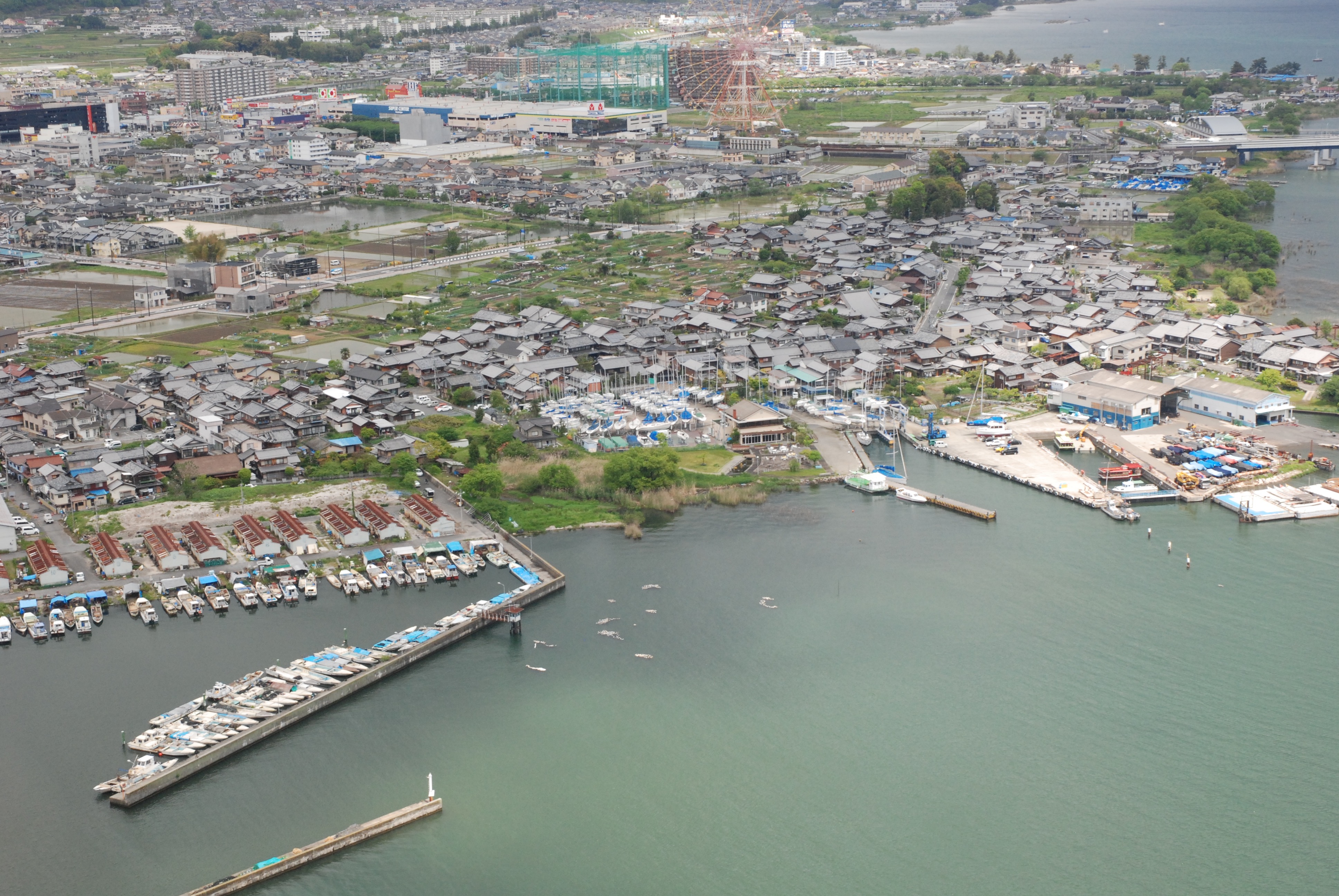
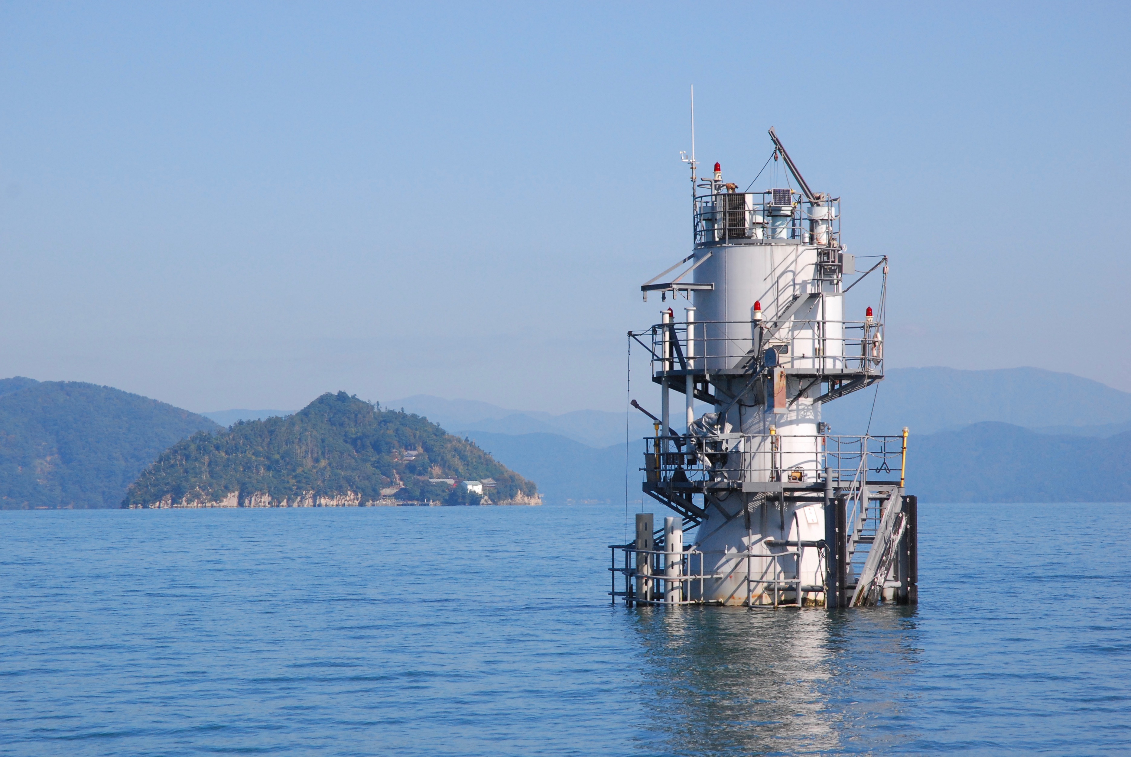
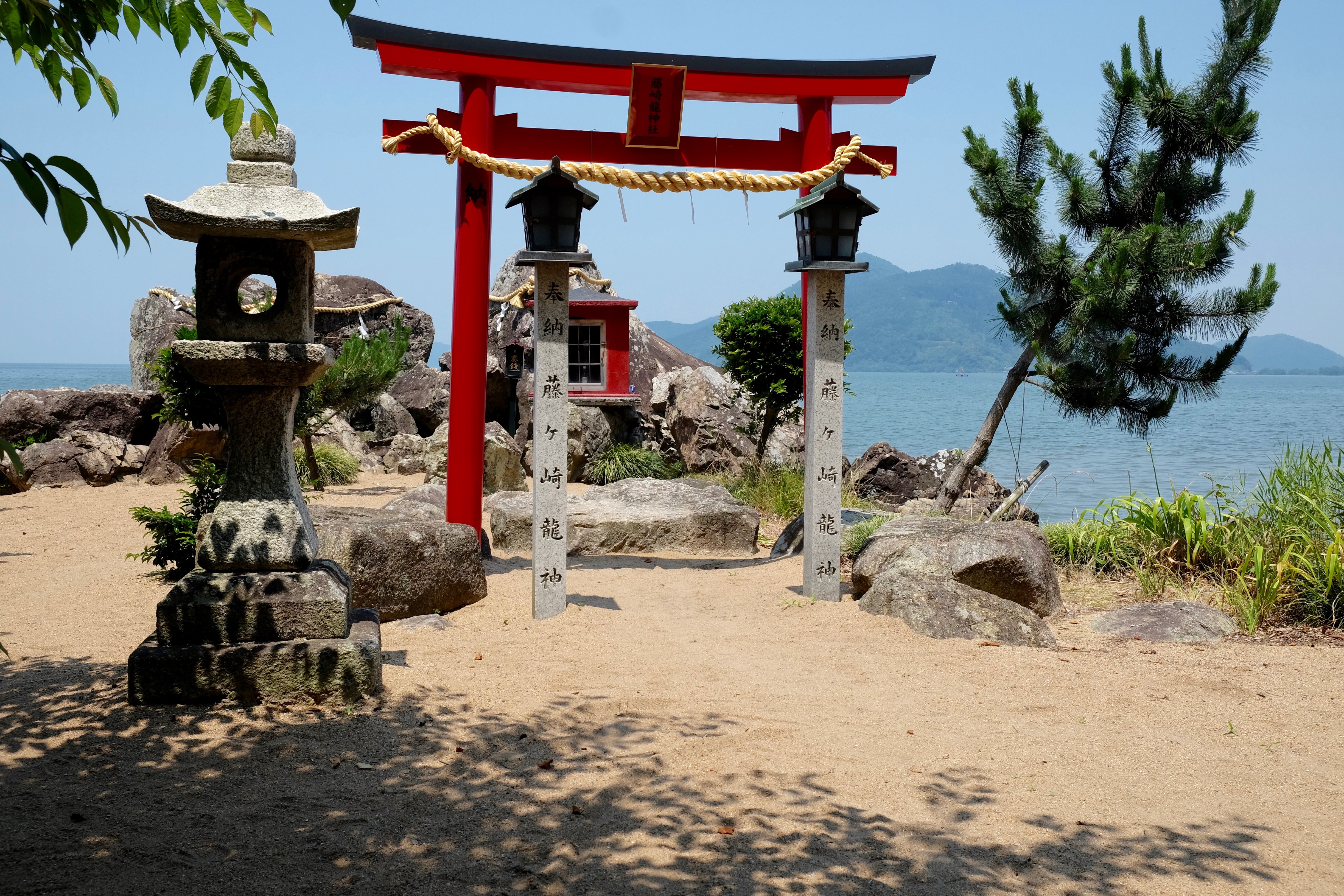
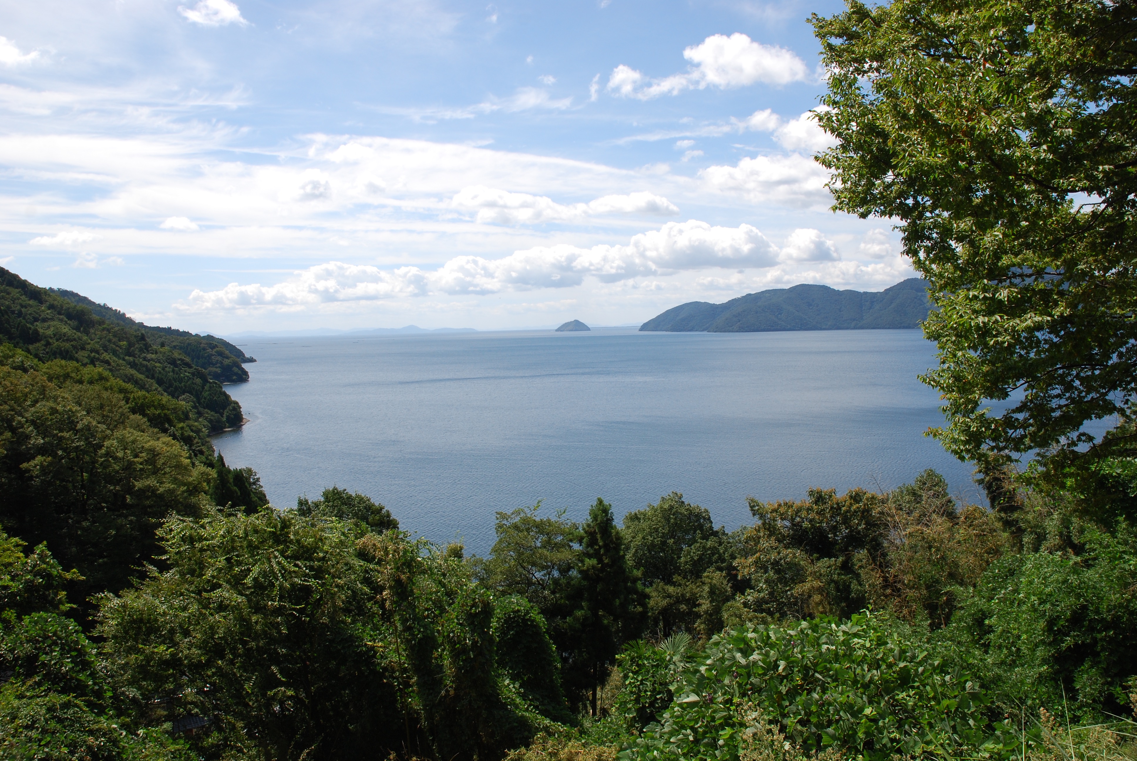
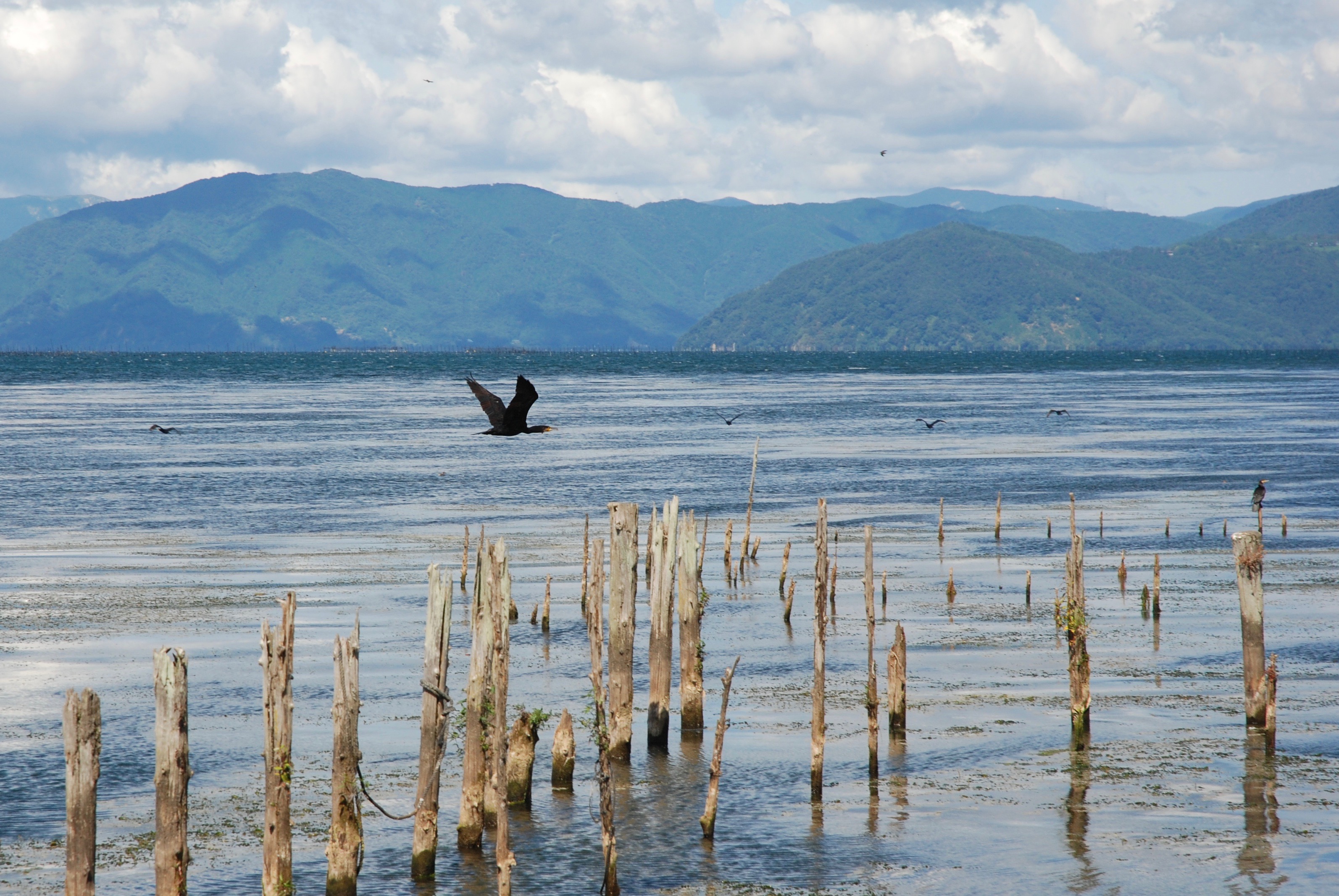
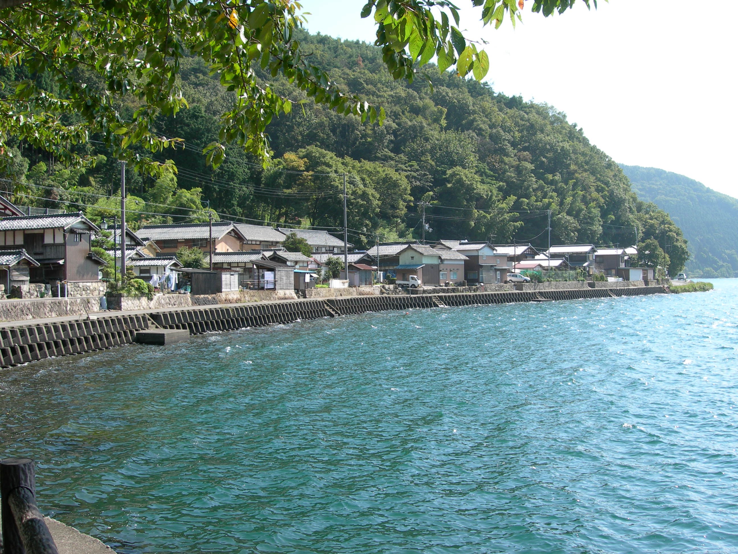
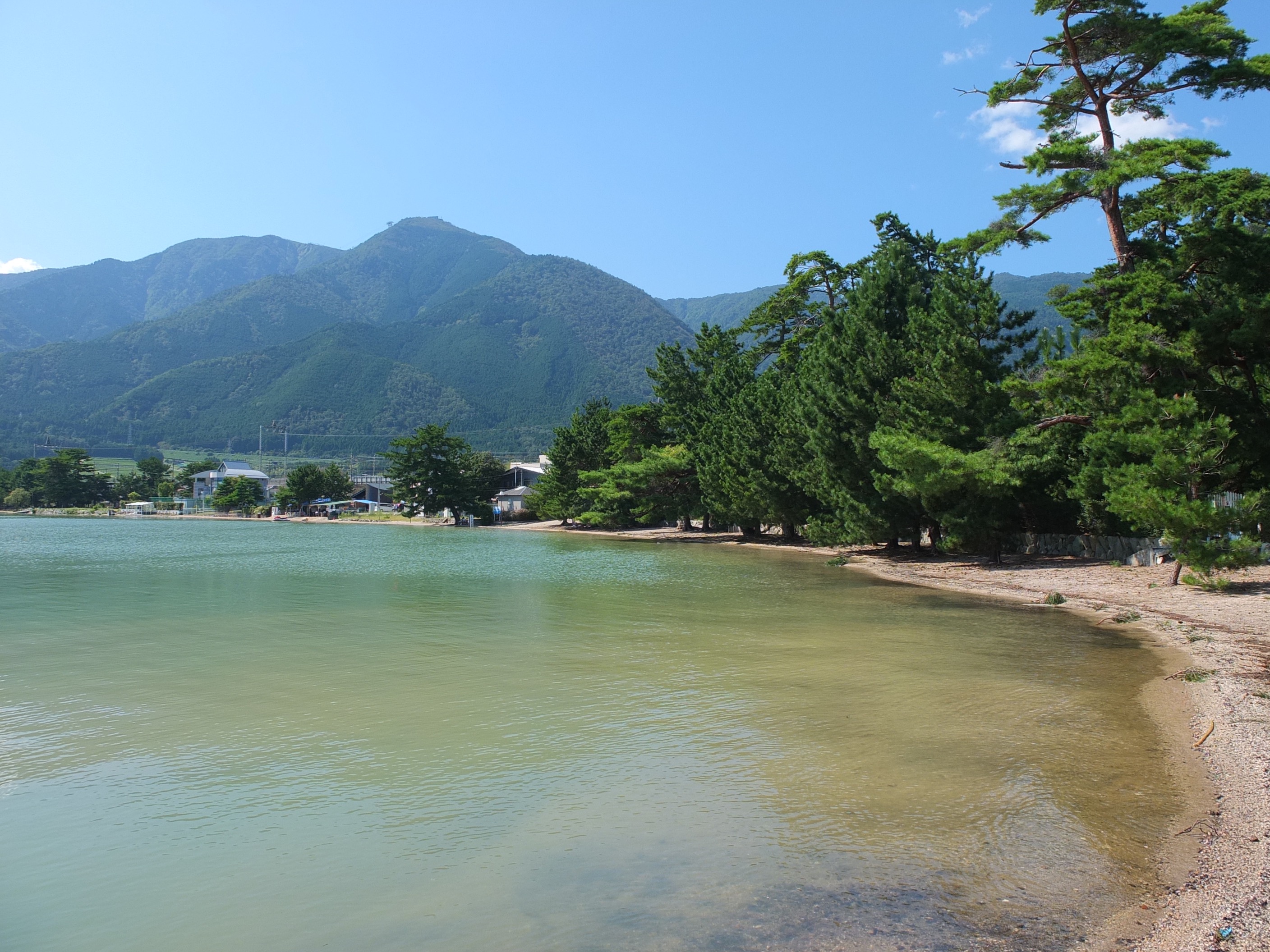
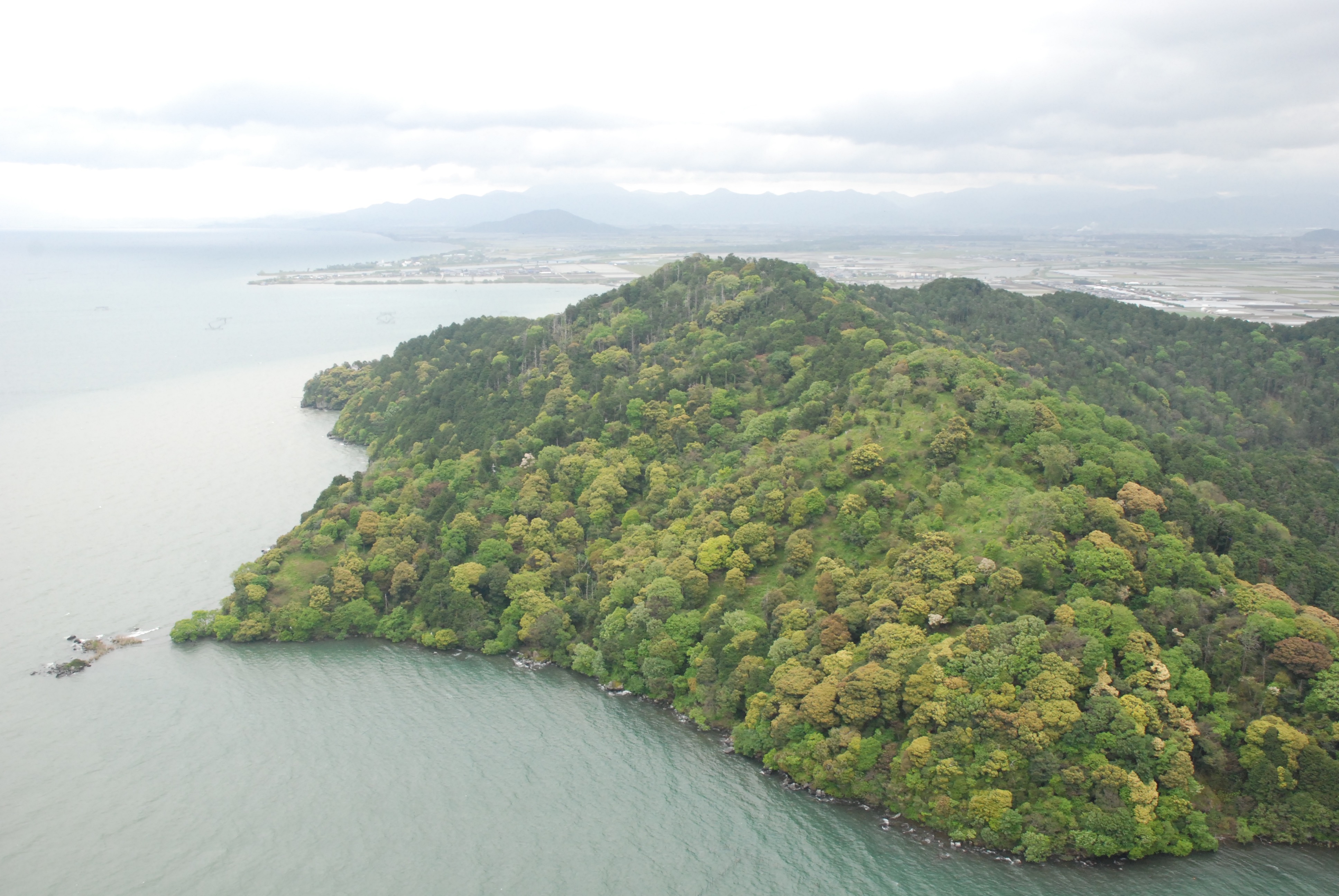
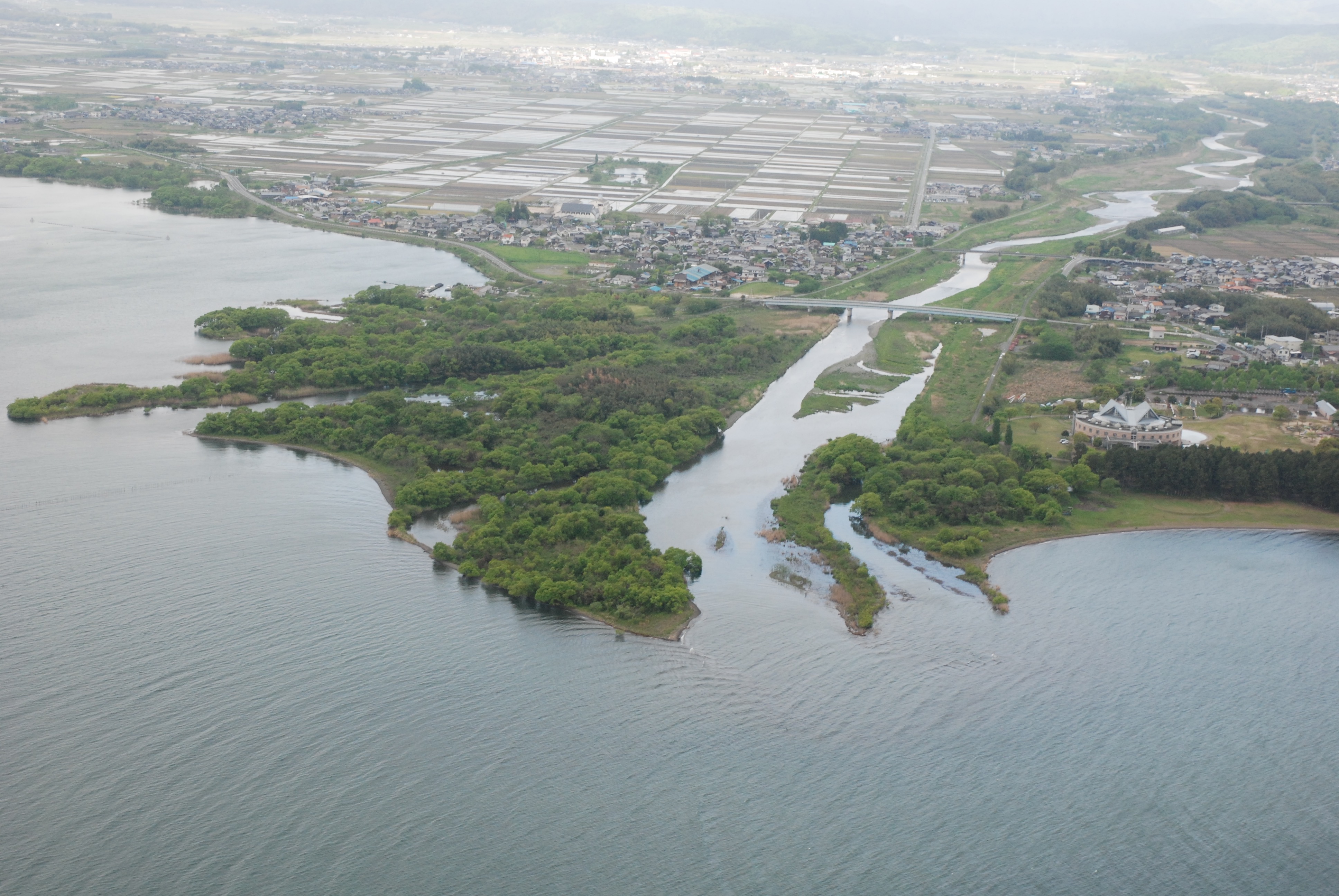
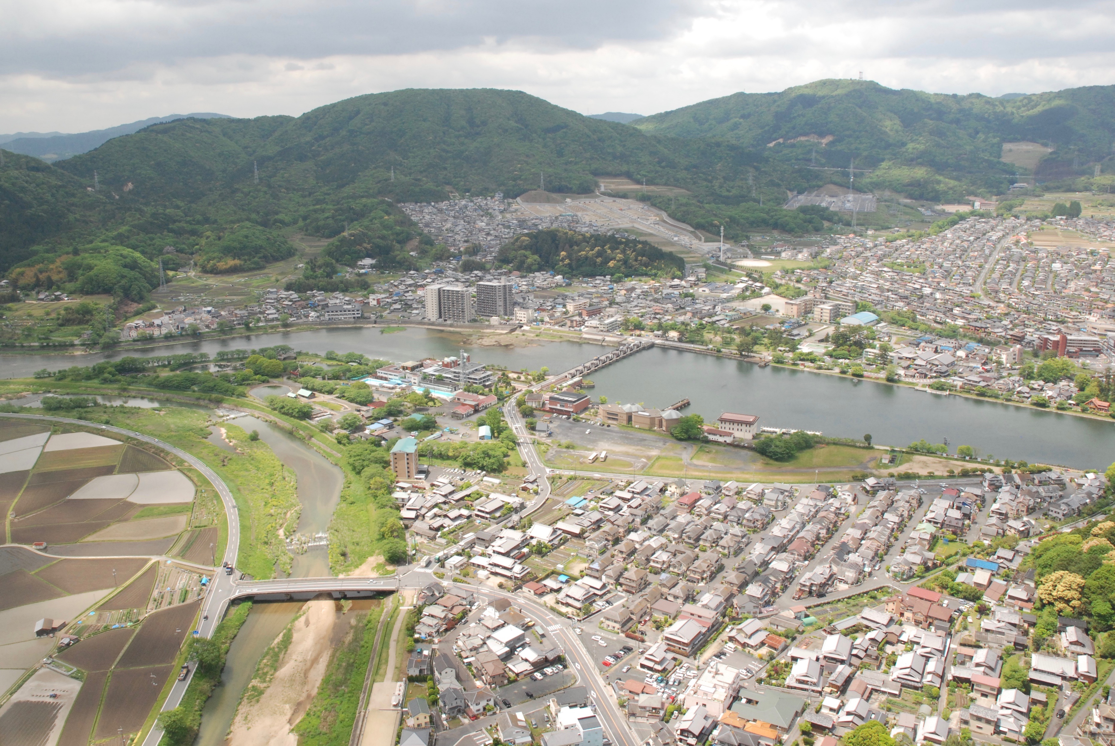
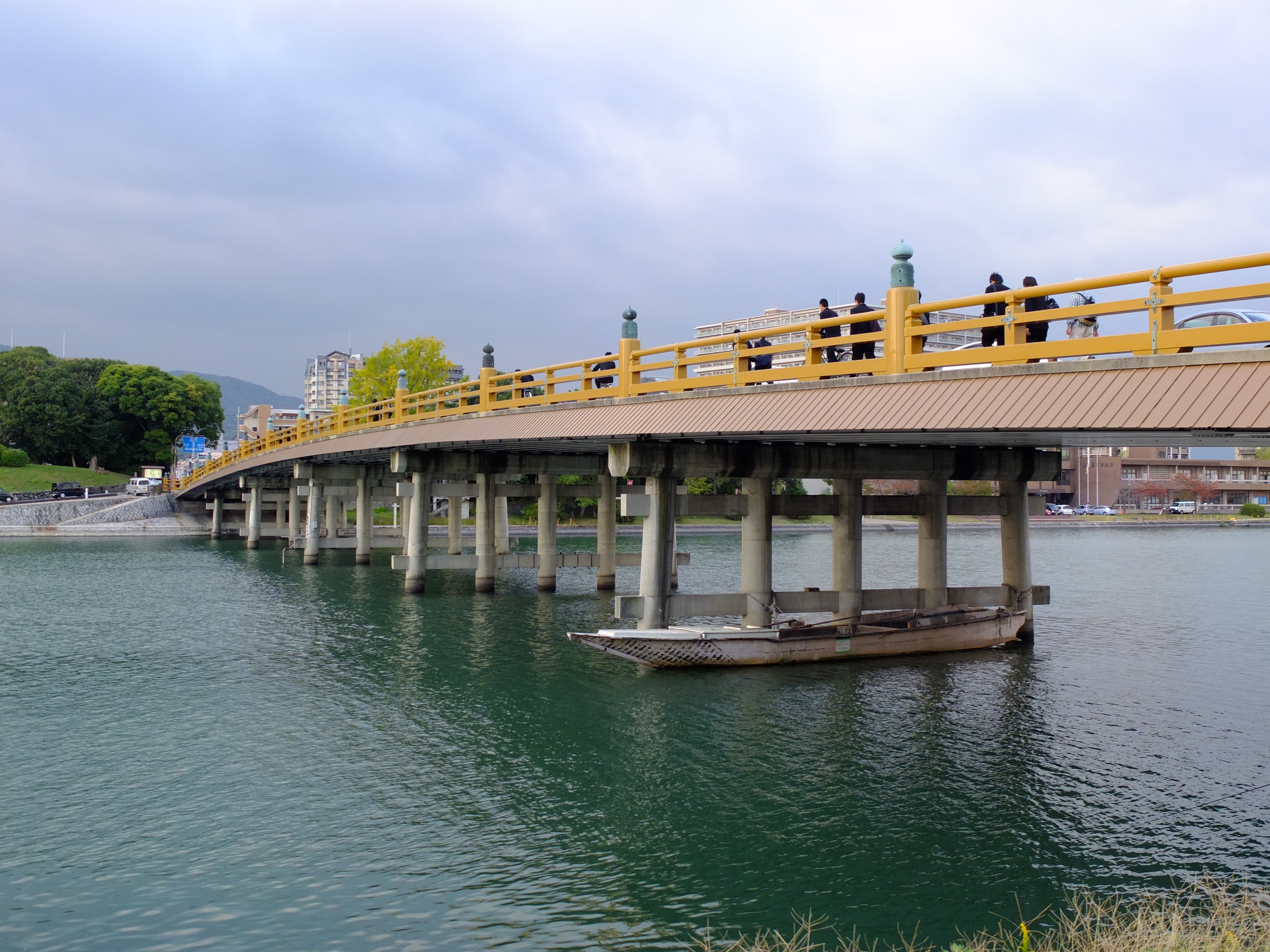
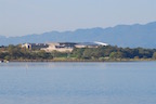
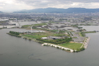
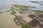
Lake Biwa
Publications
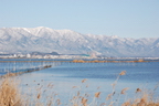
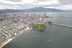
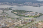
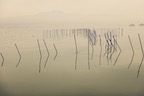
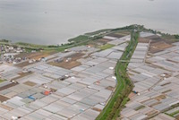
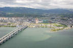
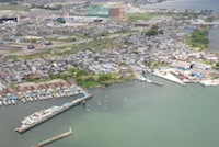
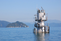
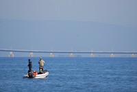
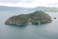
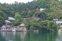
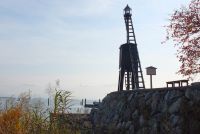
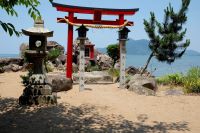
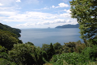
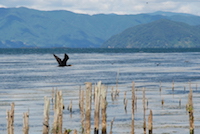
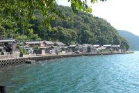
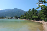
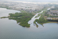
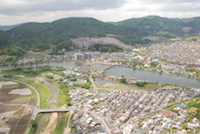
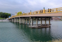
Lake Biwa
1 / 30
2 / 30
3 / 30
4 / 30
5 / 30
6 / 30
7 / 30
8 / 30
9 / 30
10 / 30
11 / 30
12 / 30
13 / 30
14 / 30
15 / 30
16 / 30
17 / 30
18 / 30
19 / 30
20 / 30
21 / 30
22 / 30
23 / 30
24 / 30
25 / 30
26 / 30
27 / 30
28 / 30
29 / 30
30 / 30
❮
❯